Ehime: Islands, Castles, and the Road That Goes Between
Ehime faces two seas and contains a cycling route that has made it genuinely famous internationally, which is unusual for a Shikoku prefecture. The rest of the character is quieter: preserved merchant towns that built their wealth on wax and copper, a peninsula so narrow that you can see both coasts from the road, a karst plateau where cattle wander between limestone outcrops at 1,400 metres. Matsuyama is more relaxed than most Japanese cities of comparable size; Uwajima in the south barely notices that it has visitors at all. The combination produces a prefecture that is easier to like than to describe.
Ehime is the western face of Shikoku — castle cities, citrus groves, and a cycling route across the Seto Inland Sea that has become one of the most talked-about road journeys in Japan. The prefecture is long and narrow, running from the island-dotted coast of the Kuroshio south to the karst plateau in the interior mountains. Matsuyama anchors the north; Uwajima holds the south; between them, preserved towns and copper-mine heritage fill the intervals.
Matsuyama — Dogo, a Castle on the Hill, and a Pilgrimage Temple in the City
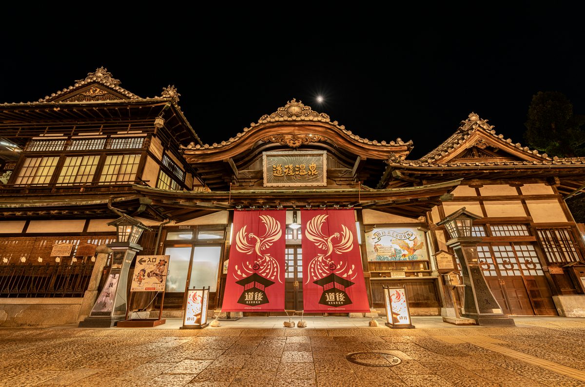
Matsuyama is Shikoku's largest city and its most visited, and it earns that position without apology. Dogo Onsen, at the city's eastern edge, is one of the oldest hot-spring facilities in Japan — the main building, completed in 1894, is a wooden structure of layered roofs and corridors that Natsume Soseki used as a model for the bathhouse in Botchan, and which Studio Ghibli referenced in Spirited Away. The building is under renovation in phases but remains open.
Matsuyama Castle sits on a wooded hill at the centre of the city, reachable by ropeway or a 20-minute walk. The original keep survives intact — one of twelve remaining original castle towers in Japan — and the view from the upper floors takes in the city, the Seto Sea, and on clear days, the island chain toward Hiroshima.
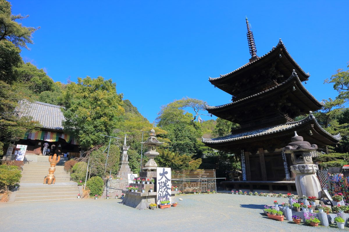
Ishite-ji, temple 51 of the Shikoku Pilgrimage, stands at the end of a stone-paved lane in the foothills above Dogo. The approach is lined with relief carvings and small statues; the temple complex itself is old enough to feel organic rather than restored.
Explore Matsuyama spots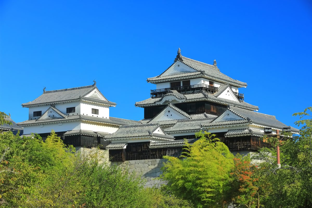
Shimanami Kaido — The Cycling Route That Crosses the Inland Sea
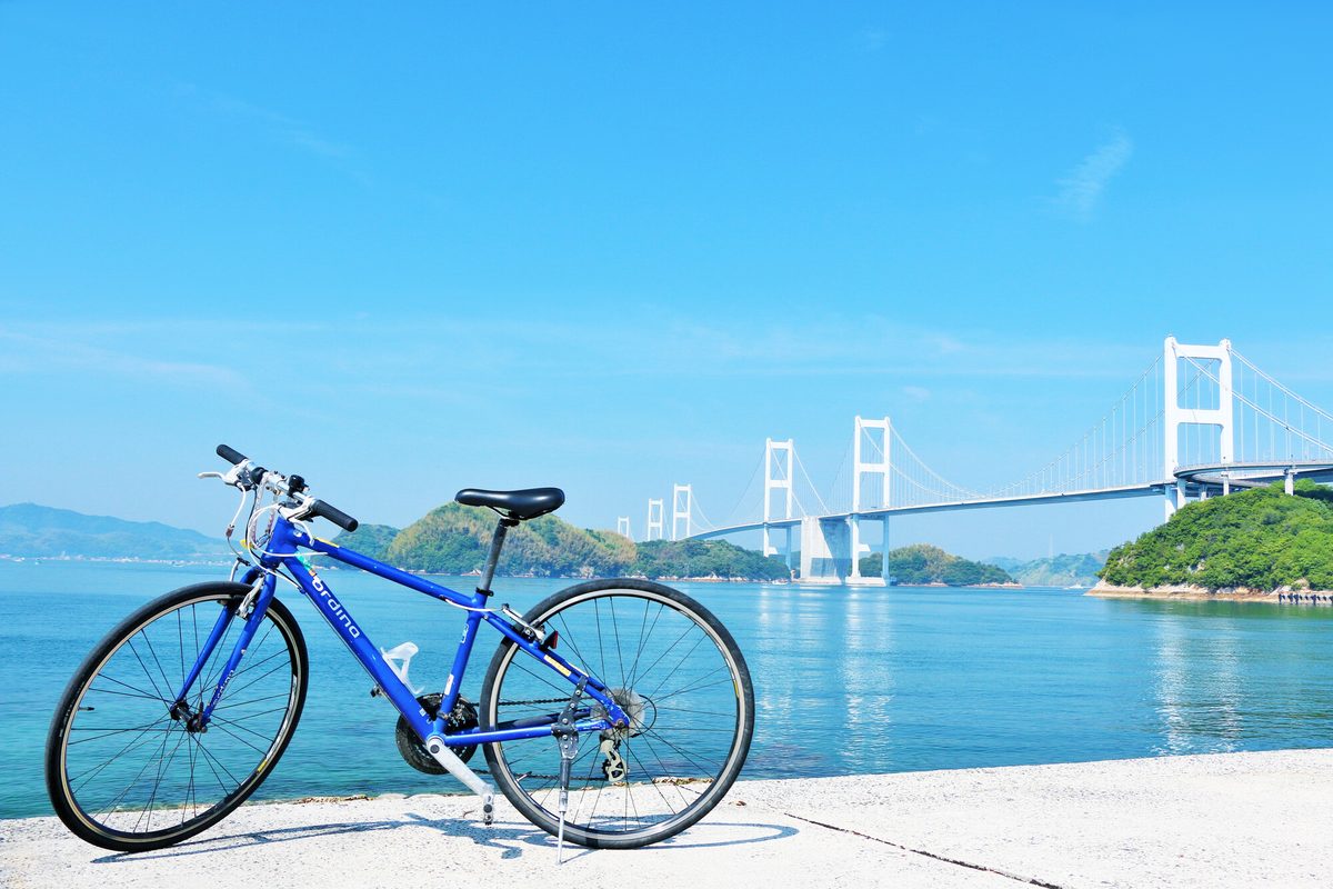
The Shimanami Kaido connects Onomichi in Hiroshima Prefecture to Imabari in Ehime across six islands and six bridges — 70 kilometres of road with dedicated cycling lanes for most of the route. The bridges are genuinely impressive engineering; the islands between them are fishing communities with citrus orchards, small museums, and limited tourist infrastructure.
Omishima, the central island, holds Oyamazumi Shrine — one of Japan's oldest and most significant shrines dedicated to maritime deities, and the repository of roughly 80 percent of the national collection of antique samurai armour and helmets. The contrast between cycling infrastructure and a thousand-year-old shrine collection is the Shimanami experience in concentrated form.
Most cyclists complete the full route in one direction in a day; two days allows stops on individual islands. Bicycle hire is available at both ends with one-way options. The Ehime-side cycling infrastructure from Imabari is well organised; the Hiroshima side has more variety in terrain.
Explore Shimanami spots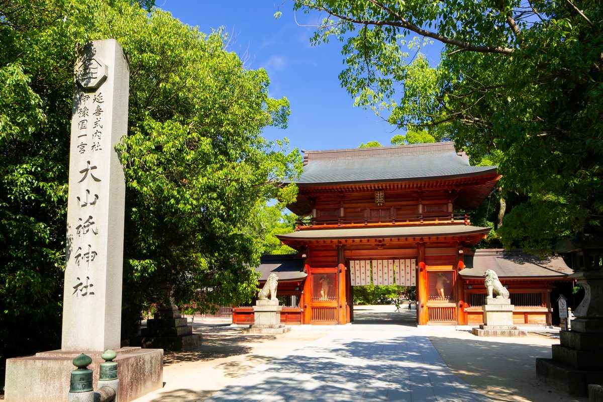
Uchiko — Wax Money and Preserved Streets Below the Karst
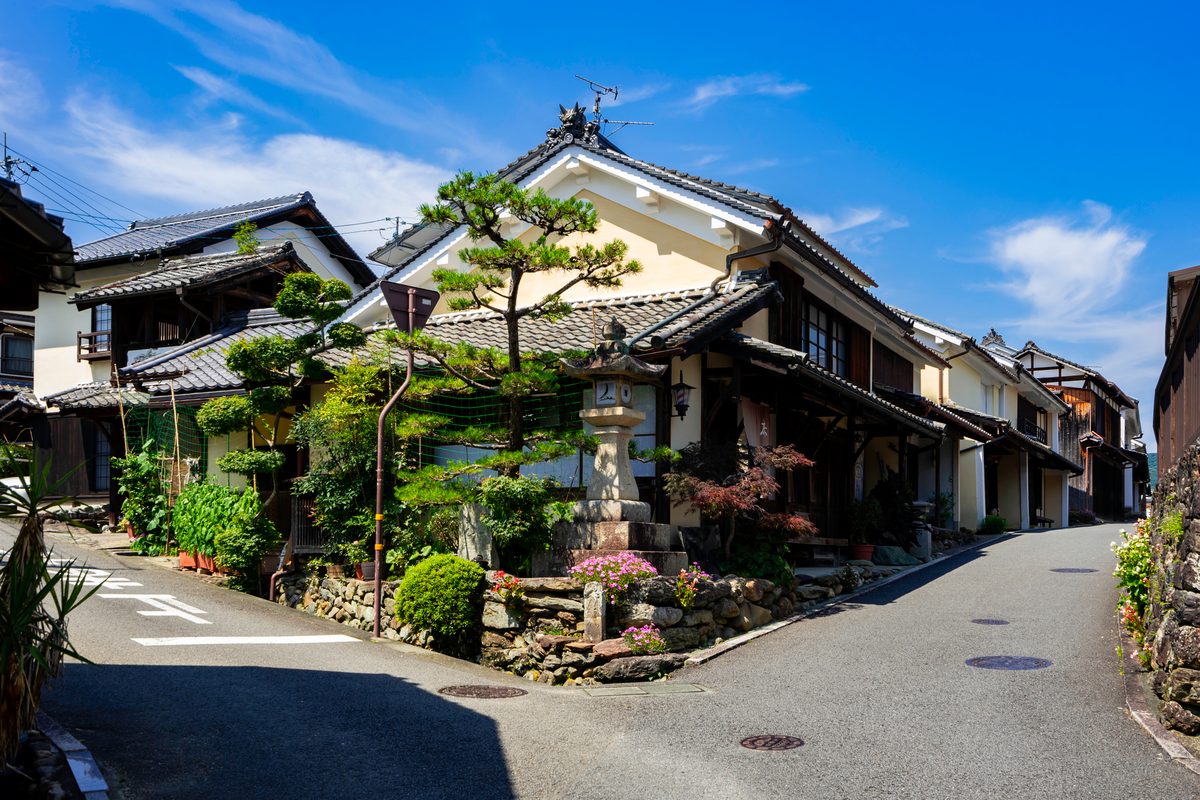
Uchiko is a small town in the Oda River valley that built considerable wealth during the Edo and Meiji periods on the production of Japanese wax — processed from sumac berries and used for candles, cosmetics, and polishes exported across Japan. The merchant families invested in stone-walled storehouses and tile-roofed residences that survive in a preserved district along the old Uchiko-za theatre lane.
The Uchiko-za kabuki theatre, completed in 1916, is still operational — small-scale productions and film screenings run periodically. The Hon-Haga Residence, a merchant house open to visitors, gives a detailed account of the wax trade and the scale of private wealth it generated in a town of this size.
Uchiko is a comfortable half-day from Matsuyama; the town is best seen slowly, on foot, with time to enter the residences rather than read the signs outside them.
Explore Uchiko spotsOzu — A Small Castle City and Cormorant Fishing After Dark
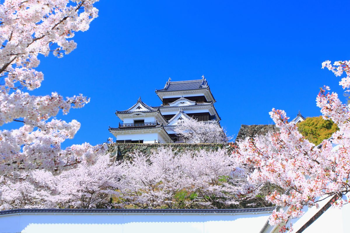
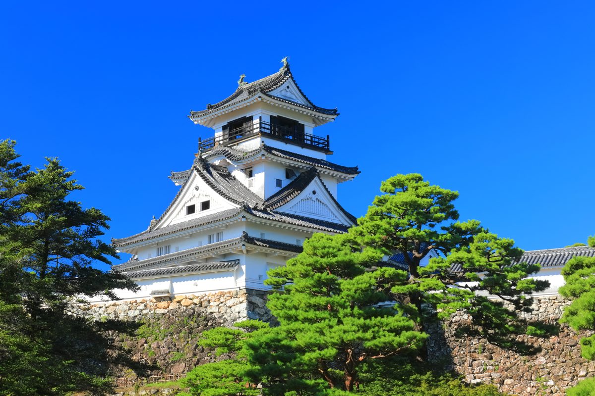
Ozu sits on a bend of the Hiji River, and the castle that shares the town's name is a 2004 timber reconstruction built from historical records — more honest than most concrete reconstructions and detailed enough to read as architecture rather than replica.
The primary summer attraction is ukai, the ancient practice of fishing with trained cormorants on the river at night. Viewing boats follow the fishing vessels with lanterns; the cormorants dive and surface on long leashes while the fisherman work the tether. It is theatrical in a way that has been sustainable for centuries.
The old town below the castle preserves a merchant streetscape along the riverside that pairs naturally with Uchiko as a single day of preserved Ehime towns — the two are forty minutes apart on the same JR line.
Explore Ozu spotsUwajima — Bullfighting, Sea Bream, and the South End of Shikoku
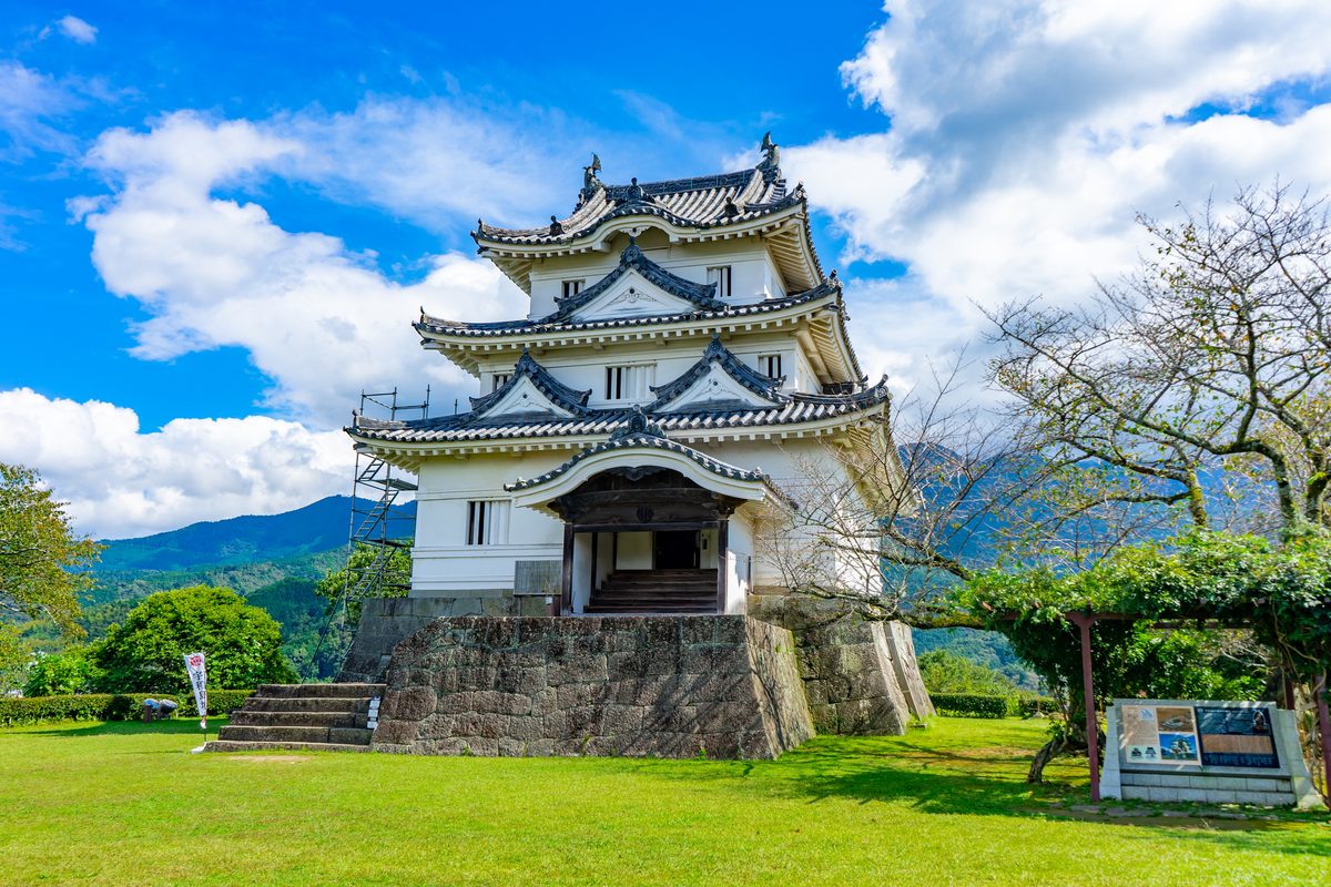
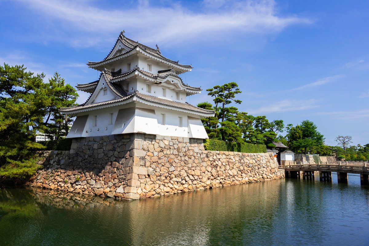
Uwajima is the southernmost major city in Ehime, facing the Bungo Channel toward Oita with a warmth that justifies the mandarin orchards terraced up every slope around the bay. The castle — an original Edo-period keep on a hilltop above the city — is small, intact, and sees fewer visitors than Matsuyama because the walk is steeper and the city less known.
Uwajima's tōgyū — bull sumo, where bulls lock horns rather than fight to injury — is a regional tradition with tournaments held several times a year at a purpose-built ring outside the city. It is a sporting event, not spectacle: local breeders take the animals seriously, and the audience is mostly residents.
The Kisaiya Hiroba fish market on the harbour front opens early for vendors selling local tuna, bream, and the small dried fish that end up in Uwajima's regional cuisine. Tai-meshi — sea bream over rice in dashi — is the bowl people come specifically to eat.
Explore Uwajima spots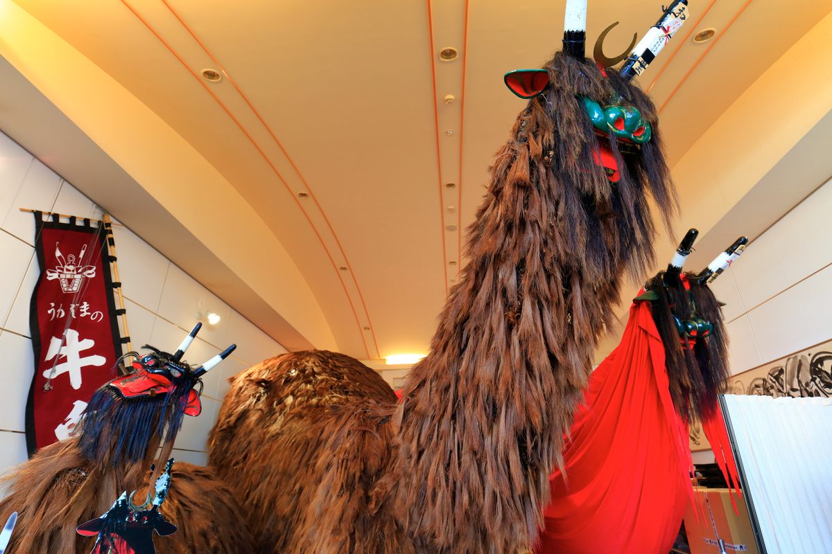
Besshi & Niihama — The Copper Mine That Industrialised Japan
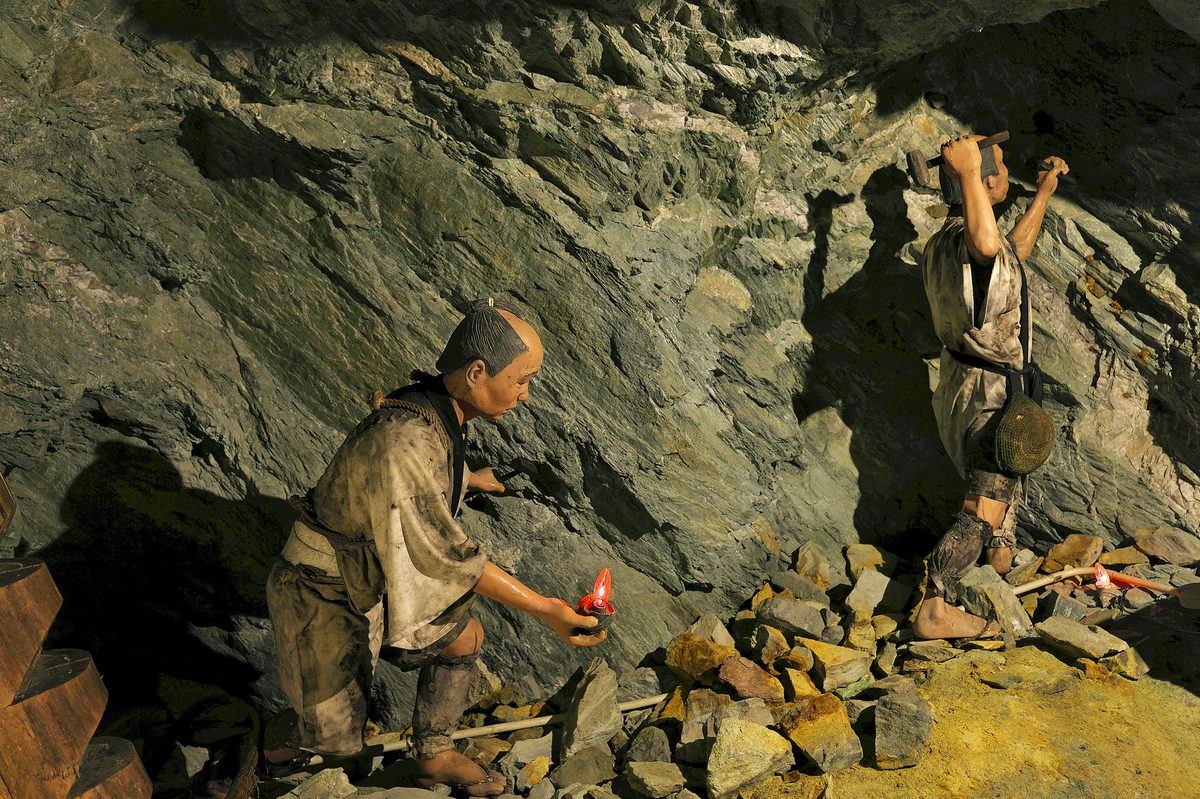
The Besshi copper mine, operated by Sumitomo from 1691 until 1973, was one of the longest-running and most productive mines in Japanese history — its output funded the development of Sumitomo into one of the major zaibatsu. Minetopia Besshi, the heritage park on the original mine site above Niihama, recreates the mine environment across several restored buildings and an underground tour section.
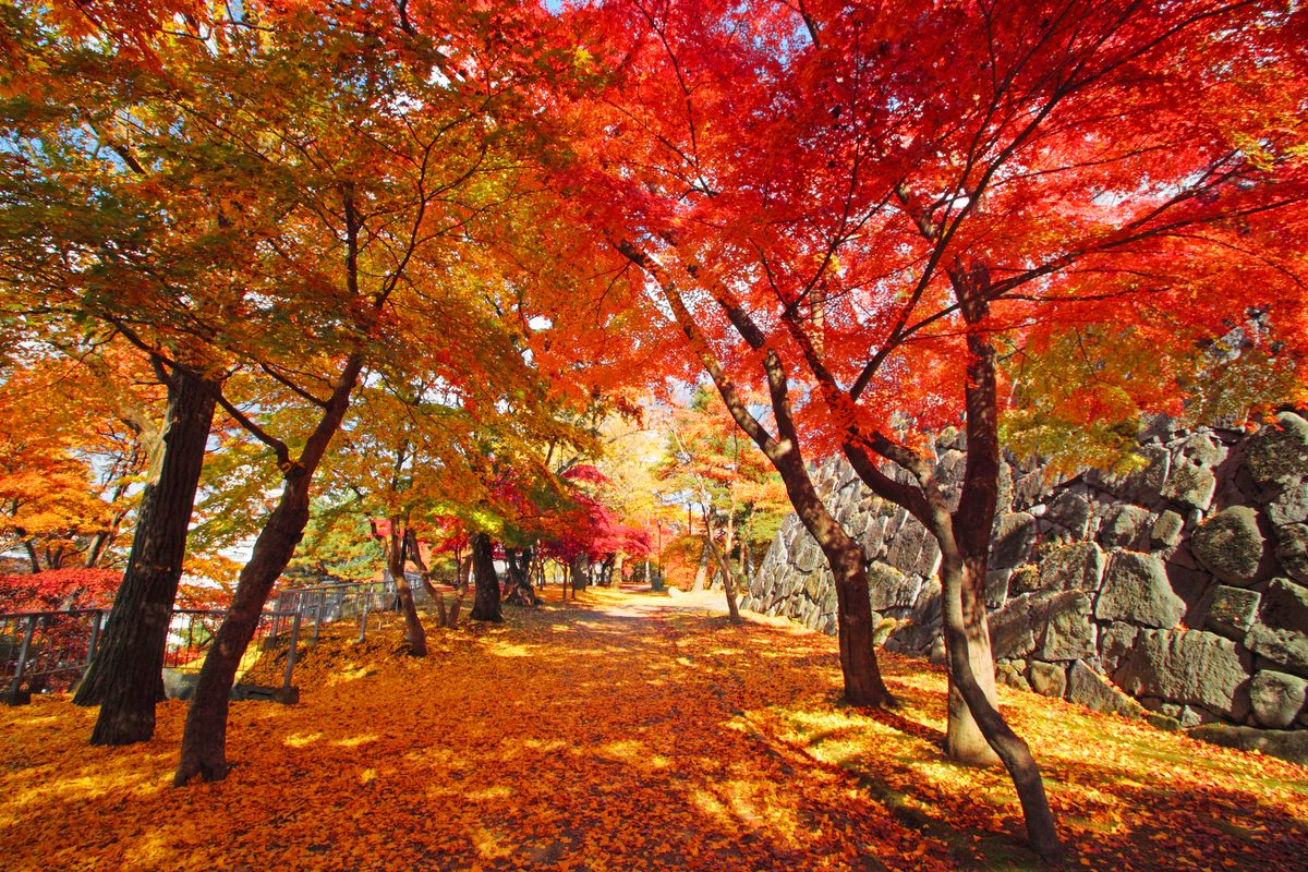
The site sits in a mountain valley accessible by ropeway, and the surrounding forest and river canyon are the secondary draw — autumn colour in October transforms the hillsides around the mine buildings in a way that the industrial heritage displays alone would not justify.
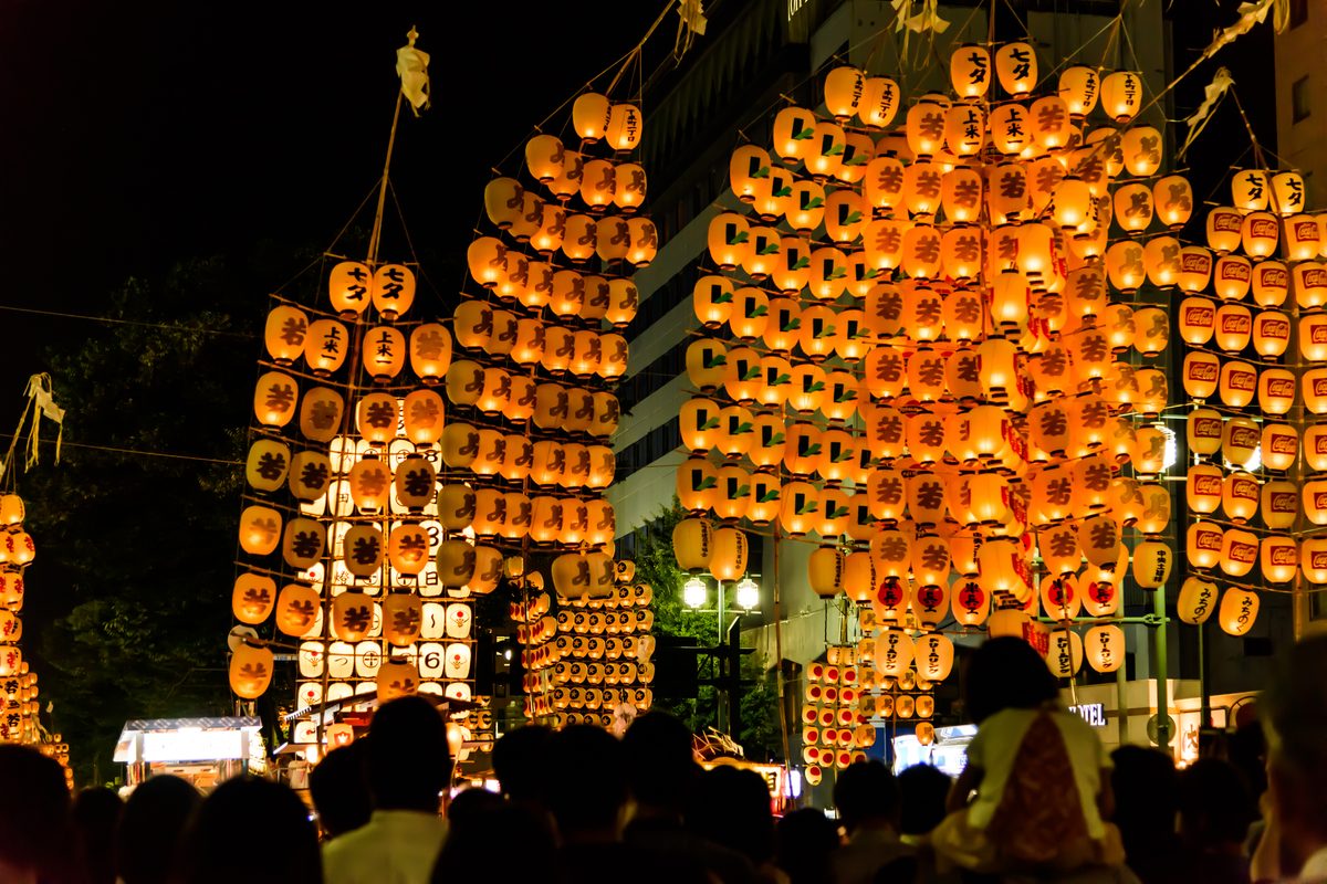
Niihama itself is an industrial port city shaped by the mine's legacy; the Taiko Festival in October, featuring enormous portable festival floats weighing several tonnes, is one of Ehime's major annual events but requires being there on the specific dates.
Explore Niihama spotsShikoku Karst — A Limestone Plateau Nobody Maps for You
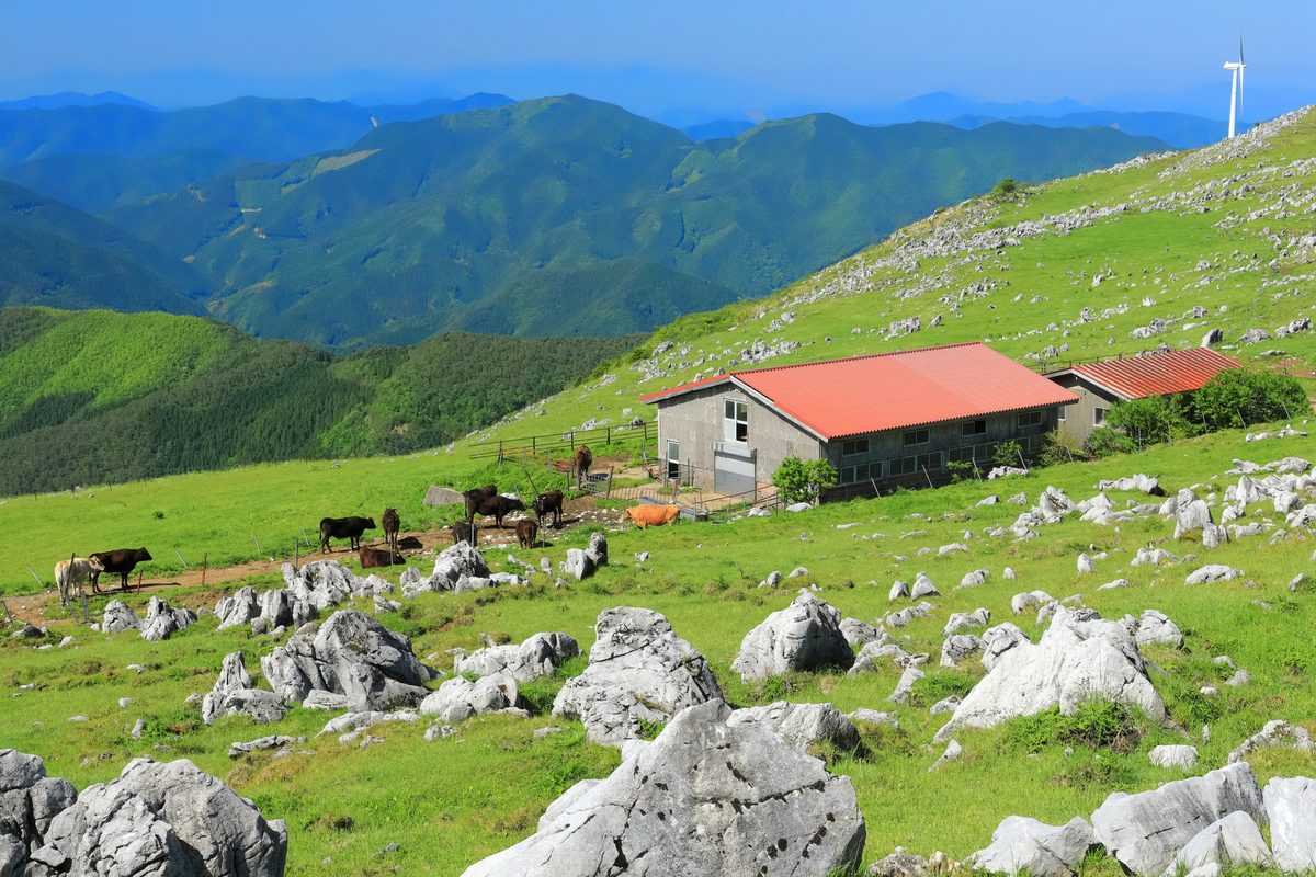
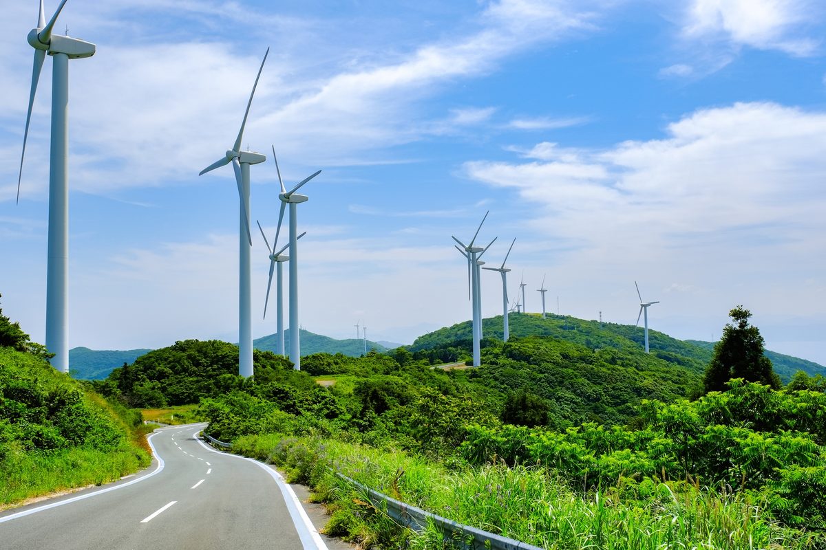
The Shikoku Karst stretches along the border of Ehime and Kochi at elevations around 1,400 metres — white limestone outcrops rising from grassland meadows, cattle grazing between the rocks, and views south toward the Pacific on clear days. The combination of karst geology and upland pasture is unusual in Japan and produces a landscape that photographs as Central Europe and feels nothing like the coast two hours below.
The Tengu Highland section in Ehime is the most accessible by car; a winding road follows the ridge with pull-offs at viewpoints. There is almost no tourist infrastructure — a few agricultural stands, occasional cattle grids, and the wind.
Without a car, the plateau is not practically reachable from Matsuyama in a day on public transport. With one, it makes a striking counterpoint to the castle city and onsen town — same prefecture, completely different register.
Explore Shikoku Karst spotsCape Sada & the Sadamisaki Peninsula — Japan's Narrowest Finger of Land
The Sadamisaki Peninsula is the narrowest peninsula in Japan — a forty-kilometre finger pointing west into the Bungo Channel, averaging only a few hundred metres wide in places, with the Iyo Sea on one side and the channel on the other. Cape Sada at the tip faces Oita across the water with a lighthouse and a drop-off to the sea that justifies the long drive or ferry.
The peninsula has small fishing ports, mandarin terraces, and almost no visitor facilities beyond a handful of minshuku at the cape. Reaching the tip requires a car or bicycle — the bus does not continue to the cape itself. The ferry from the peninsula to Usuki in Oita is an alternative exit for those continuing east.
Sadamisaki rewards travellers willing to commit to a dead-end drive for the specific satisfaction of the western edge of Shikoku — a promontory that points at nothing in particular and is exactly itself.
Explore Cape Sada spotsHow to Plan Your Ehime Trip
Matsuyama is the standard base — airport connections, the castle, Dogo, and Ishite-ji cover two comfortable days. Shimanami Kaido demands its own commitment: a full day cycling from Imabari, or two days including island stops. Uchiko and Ozu pair naturally as a single rail day south from Matsuyama.
Uwajima needs a half-day minimum; combining it with Uchiko and Ozu on the same line allows a southern loop in two nights with a car or careful train timing. Niihama and Besshi suit a day between Matsuyama and a connection toward Tokushima or Kochi.
The Shikoku Karst and Cape Sada each assume a car and focused intent. Neither is on the way to anywhere else — they are reasons to slow down rather than checkpoints. Ehime rewards travellers who accept that the prefecture's width and variety make a complete circuit a multi-week project.
Where are these spots?
How to Get There
Matsuyama Airport is connected to the city by bus in around 15 minutes. Direct flights from Tokyo (Haneda) take around 1.5 hours. The fast ferry from Hiroshima takes around 1 hour; slower overnight ferries also operate. Matsuyama Station is the terminus of the JR Yosan Line from Okayama via Imabari. The Shimanami Kaido starts from Imabari — 20 minutes from Matsuyama by JR. Limited express services run south to Uchiko, Ozu, and Uwajima. Rental cars are available at Matsuyama Station and Airport for the karst plateau and Cape Sada.
Find your Japan
Find Your Ehime
Browse curated spots across Ehime Prefecture — from Dogo Onsen to Shimanami Kaido and the Seto Island coast — on Tobira.
Find match spotsMore Prefecture Guides
Kagawa: Udon, Art Islands, and the Most Climbed Stairs in Shikoku
11 min read
Tokushima: Whirlpools, the Valley That Time Missed, and Japan's Loudest Dance
11 min read
Kochi: The Wild Coast That Japan Forgot to Tame
12 min read
Fukushima: Three Regions, One Prefecture, No Simple Story
12 min read
Akita: Snow Country, Rice Country, and Monsters on New Year's Eve
12 min read
Yamagata: Cherries, Sacred Mountains, and Snow That Eats the Trees
12 min read
Miyagi: The Coast, the Castle, and Sendai Between Them
11 min read
Iwate: Where the Mountains Lean Against the Pacific
12 min read
Aomori: Where Winter Invented Its Own Festival
12 min read
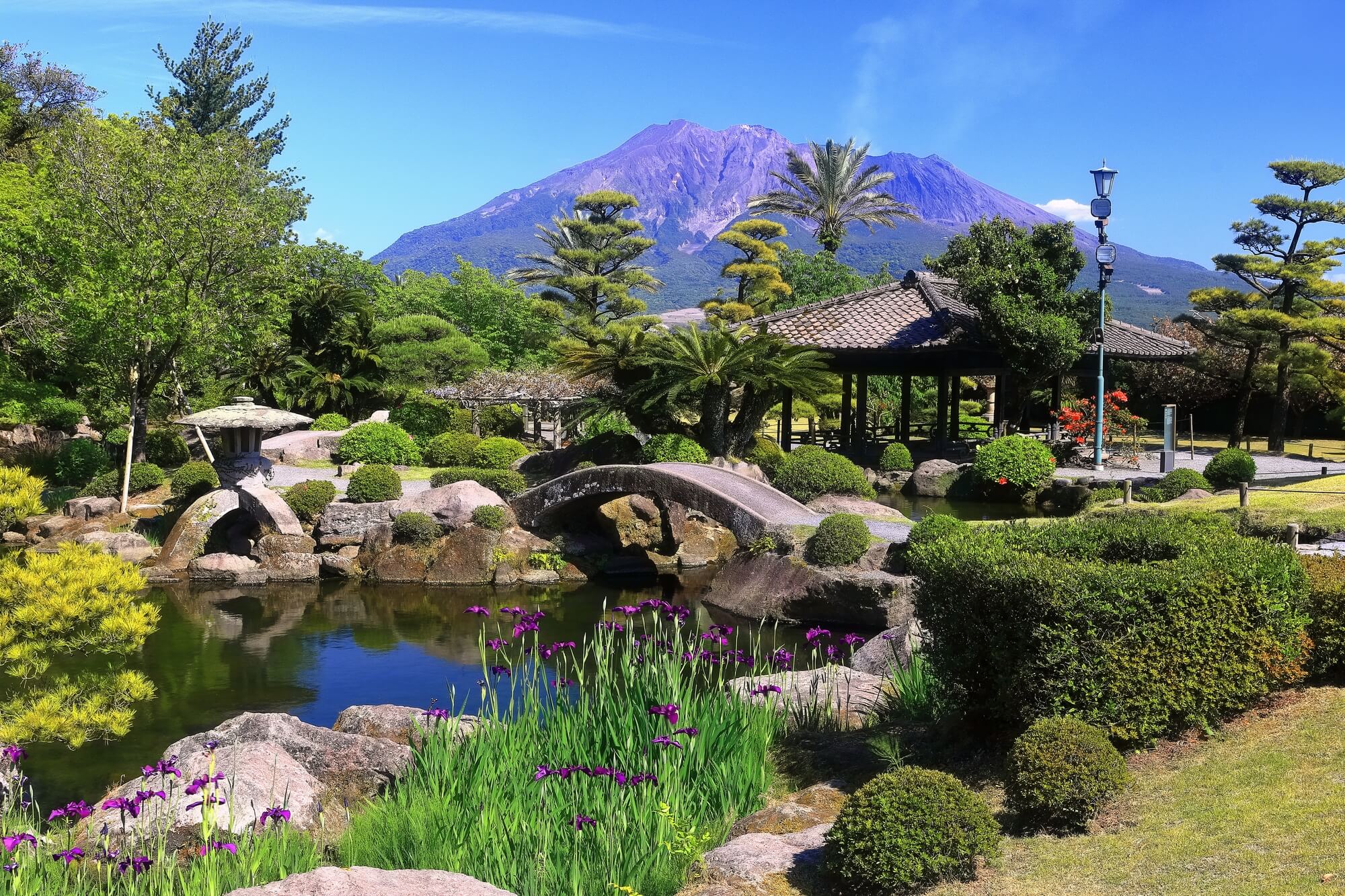
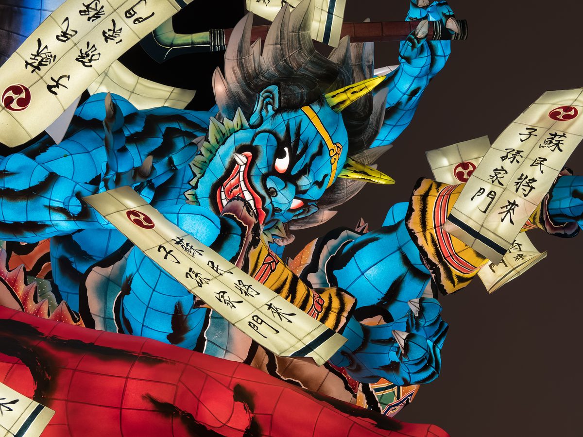
Kagoshima: Where the Mainland Finally Runs Out of Land
12 min read
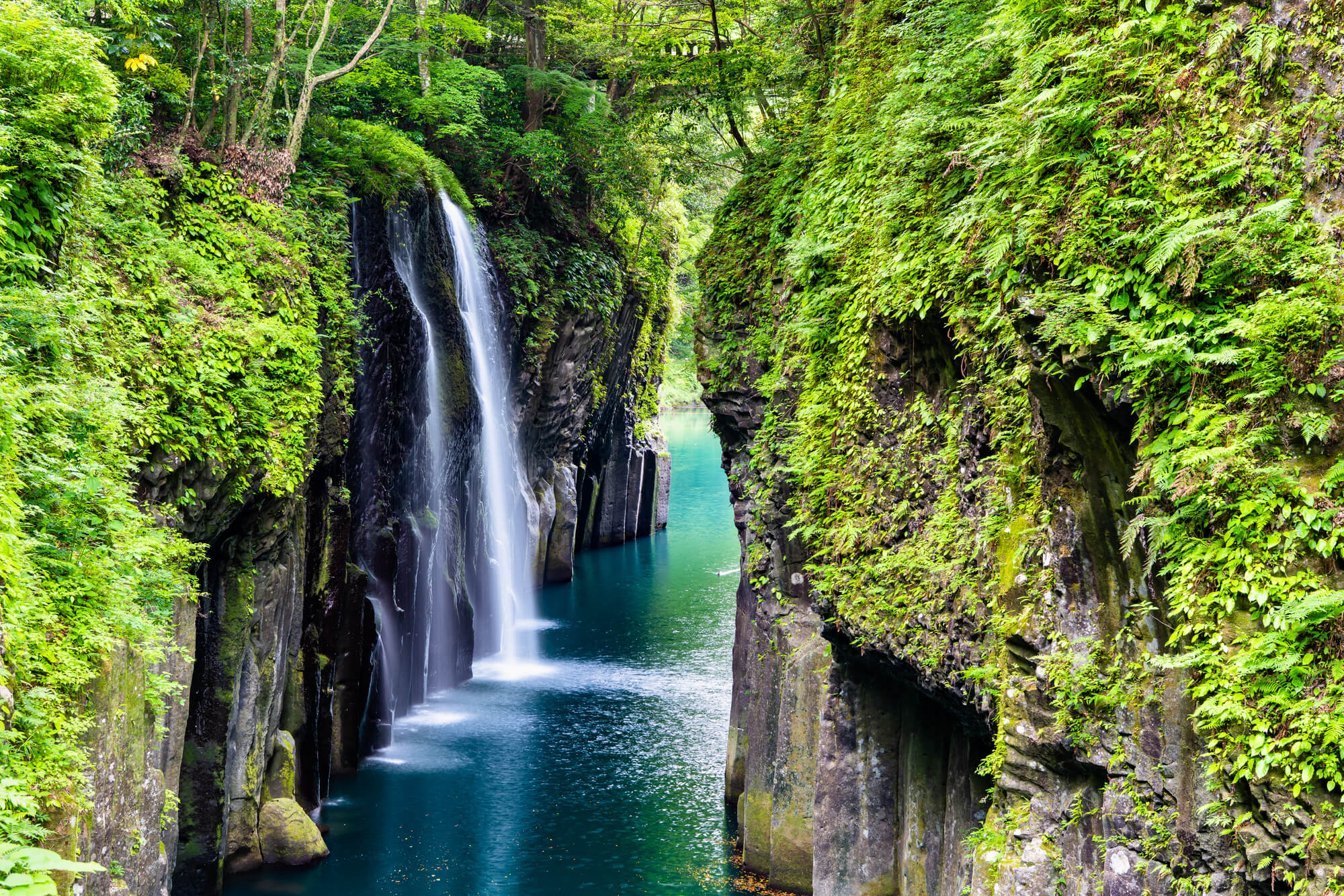
Miyazaki: Where the Sun God Hid and the Horses Run Wild
11 min read
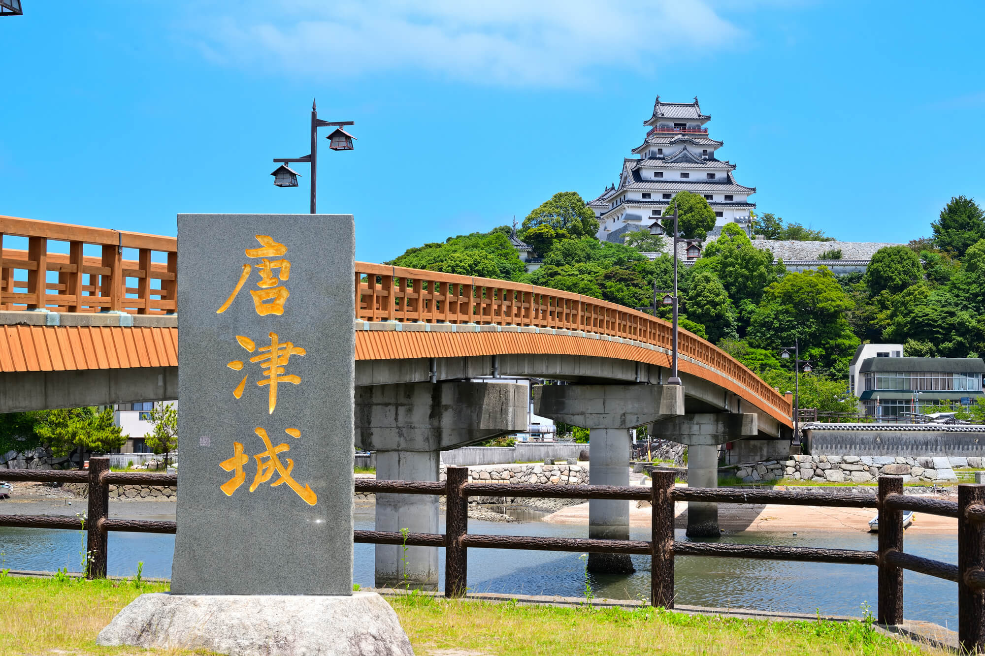
Saga: Older Than You Think, Quieter Than Most
11 min read
Nagasaki: Where Every Century Left Something Behind
13 min read
Oita: Where the Earth Still Boils
12 min read
Fukuoka: Where Japan Eats, Breathes, and Gets On With It
14 min read
Hokkaido Travel Guide: Ten Places Beyond Sapporo
16 min read